
Before moving on to the features of GPS 3 Satellites, we need to take a look at the history of the GPS System. Why are new versions of this system needed? What kind of conveniences does this system, defined as GPS 3, offer to our lives? To understand these, let’s briefly travel through the history of GPS.
Journey on GPS 3
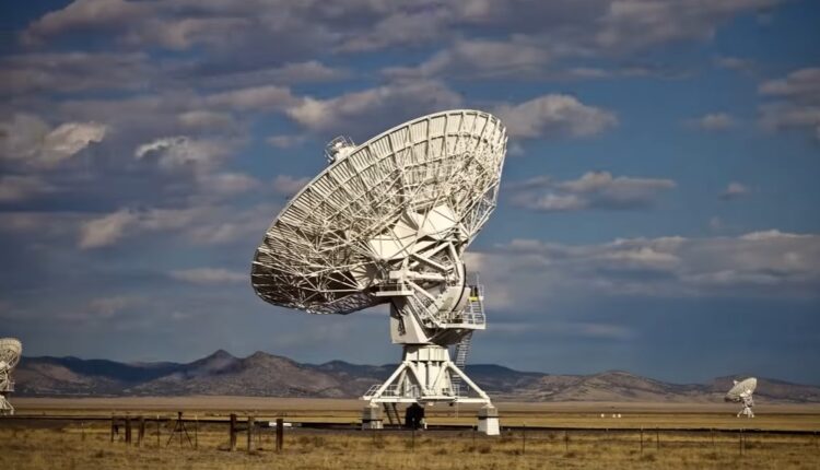
Beginning in 1973 and completed in 1993, the American GPS satellite network was the first global navigation system and revolutionized positioning. At first, it was thought that this network would also be useful in military fields. However, since technology is in our lives today, we see and use these benefits in every field. At this point, our need for GPS 3 emerges.
General evaluation
The problem with GPS is that the original 24 satellites and other satellites added later don’t provide perfect resolution and are accurate within just a few feet. Also, as anyone who has tried using location tracking in mountainous and densely populated urban environments will know, they do not provide full worldwide coverage, and signals are relatively simple to block, which is considered a constant threat for military use. On the one hand, increasing population density is one of the obstacles to the slowdown of the system. For this reason, there is a great demand for system improvement and the technology is sufficiently advanced to meet this demand. Satellites known as GPS 3 are already being launched and are expected to fully upgrade the network within a few years. When this project is completed, it is estimated that it will be much more precise and 8 times stronger than the signals currently used. Thus, it seems that all ruptures and non-shrinkage problems experienced in this system will be prevented. This will provide enhanced security, cyber integrity and much greater accuracy.